
Ghuzkas topographic map
Interactive map
Click on the map to display elevation.
About this map
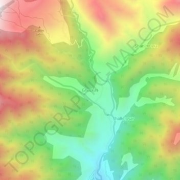
Name: Ghuzkas topographic map, elevation, terrain.
Location: Ghuzkas, Khyber Pakhtunkhwa, Pakistan (35.13982 72.36191 35.17982 72.40191)
Average elevation: 2,471 m
Minimum elevation: 1,943 m
Maximum elevation: 3,101 m