
Rangpur topographic map
Interactive map
Click on the map to display elevation.
About this map
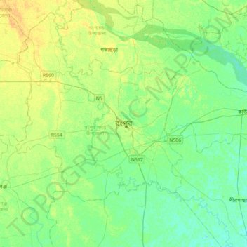
Name: Rangpur topographic map, elevation, terrain.
Location: Rangpur, Rangpur district, 5400, Bangladesh (25.59698 89.08146 25.91698 89.40146)
Average elevation: 33 m
Minimum elevation: 25 m
Maximum elevation: 44 m