
Pagar Jati topographic map
Interactive map
Click on the map to display elevation.
About this map
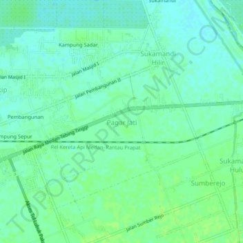
Name: Pagar Jati topographic map, elevation, terrain.
Location: Pagar Jati, Deli Serdang, North Sumatra, Indonesia (3.54240 98.88442 3.58240 98.92442)
Average elevation: 16 m
Minimum elevation: 10 m
Maximum elevation: 21 m