
Mingachevir topographic map
Interactive map
Click on the map to display elevation.
About this map
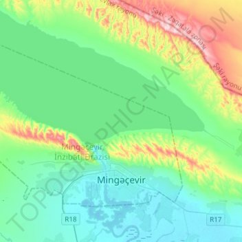
Name: Mingachevir topographic map, elevation, terrain.
Location: Mingachevir, Central Aran, Azerbaijan (40.74384 46.86826 40.87512 47.11461)
Average elevation: 99 m
Minimum elevation: 16 m
Maximum elevation: 375 m
Other topographic maps
Click on a map to view its topography, its elevation and its terrain.