
Mulberry topographic map
Interactive map
Click on the map to display elevation.
About this map
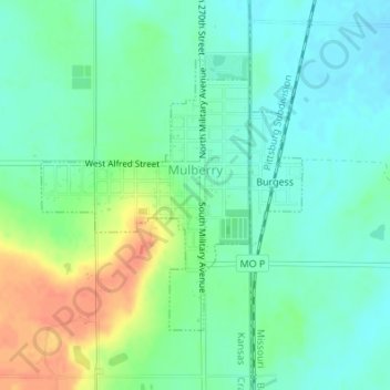
Name: Mulberry topographic map, elevation, terrain.
Location: Mulberry, Crawford County, Kansas, United States (37.54582 -94.63525 37.56446 -94.61708)
Average elevation: 282 m
Minimum elevation: 266 m
Maximum elevation: 312 m
Other topographic maps
Click on a map to view its topography, its elevation and its terrain.
Girard
United States > Kansas > Crawford County
Girard, Crawford County, Kansas, 66743, United States
Average elevation: 298 m
Kniveton
United States > Kansas > Crawford County > Kniveton
Kniveton, Crawford County, Kansas, 66760, United States
Average elevation: 276 m