
Llannon topographic map
Interactive map
Click on the map to display elevation.
About this map
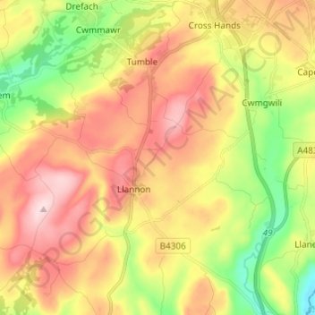
Name: Llannon topographic map, elevation, terrain.
Location: Llannon, Carmarthenshire, Wales, United Kingdom (51.72552 -4.15644 51.80095 -4.05823)
Average elevation: 144 m
Minimum elevation: 4 m
Maximum elevation: 282 m