
Darora topographic map
Interactive map
Click on the map to display elevation.
About this map
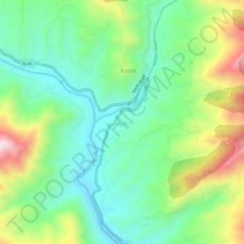
Name: Darora topographic map, elevation, terrain.
Average elevation: 1,233 m
Minimum elevation: 1,042 m
Maximum elevation: 1,615 m
Other topographic maps
Click on a map to view its topography, its elevation and its terrain.
Sherīngal
Pakistan > Khyber Pakhtunkhwa > Upper Dir District
Sherīngal, Upper Dir District, Malakand Division, Khyber Pakhtunkhwa, Pakistan
Average elevation: 1,659 m