
Celina topographic map
Interactive map
Click on the map to display elevation.
About this map
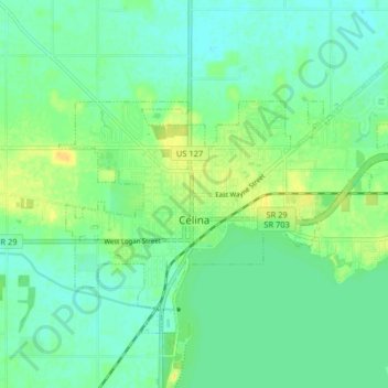
Name: Celina topographic map, elevation, terrain.
Location: Celina, Mercer County, Ohio, United States (40.53098 -84.59842 40.57497 -84.51784)
Average elevation: 266 m
Minimum elevation: 257 m
Maximum elevation: 280 m
Celina is located at 40°33′5″N 84°34′12″W / 40.55139°N 84.57000°W / 40.55139; -84.57000 (40.551459, -84.570057), at an elevation of 886 feet (270 m). According to the United States Census Bureau, the city has a total area of 5.27 square miles (13.65 km2), of which 4.98 square miles (12.90 km2) is land and 0.29 square miles (0.75 km2) is water.