
Heggelia topographic map
Interactive map
Click on the map to display elevation.
About this map
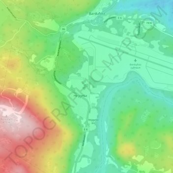
Name: Heggelia topographic map, elevation, terrain.
Location: Heggelia, Målselv, Troms og Finnmark, Norway (69.02871 18.48912 69.06871 18.52912)
Average elevation: 140 m
Minimum elevation: 6 m
Maximum elevation: 413 m