
Flat Creek topographic map
Interactive map
Click on the map to display elevation.
About this map
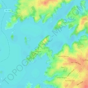
Name: Flat Creek topographic map, elevation, terrain.
Location: Flat Creek, Hall County, Georgia, 30566, United States (34.22593 -83.94990 34.26593 -83.90990)
Average elevation: 339 m
Minimum elevation: 321 m
Maximum elevation: 385 m