
Lạng Sơn topographic map
Interactive map
Click on the map to display elevation.
About this map
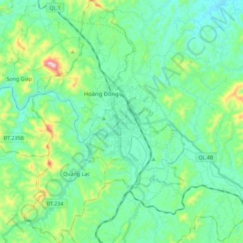
Name: Lạng Sơn topographic map, elevation, terrain.
Location: Lạng Sơn, Lạng Sơn Province, Vietnam (21.78158 106.69676 21.92760 106.80022)
Average elevation: 316 m
Minimum elevation: 192 m
Maximum elevation: 775 m