
Terna Dam topographic map
Interactive map
Click on the map to display elevation.
About this map
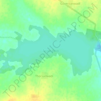
Name: Terna Dam topographic map, elevation, terrain.
Location: Terna Dam, Peth, Osmanabad, Maharashtra, India (18.32145 76.08599 18.34002 76.12444)
Average elevation: 650 m
Minimum elevation: 639 m
Maximum elevation: 665 m