
Shiocton topographic map
Interactive map
Click on the map to display elevation.
About this map
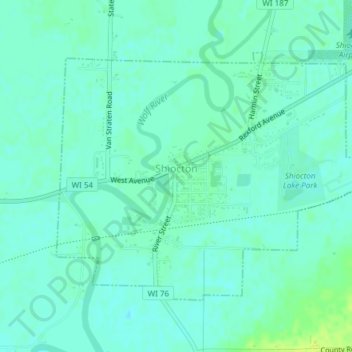
Name: Shiocton topographic map, elevation, terrain.
Location: Shiocton, Outagamie County, Wisconsin, United States (44.43457 -88.59192 44.45359 -88.55576)
Average elevation: 235 m
Minimum elevation: 230 m
Maximum elevation: 246 m