
Arcola topographic map
Interactive map
Click on the map to display elevation.
About this map
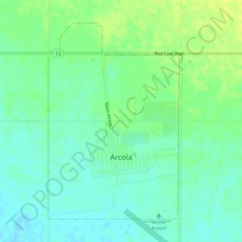
Name: Arcola topographic map, elevation, terrain.
Location: Arcola, Saskatchewan, S0C 0G0, Canada (49.62811 -102.50327 49.65001 -102.48065)
Average elevation: 611 m
Minimum elevation: 603 m
Maximum elevation: 620 m