
Martham topographic map
Interactive map
Click on the map to display elevation.
About this map
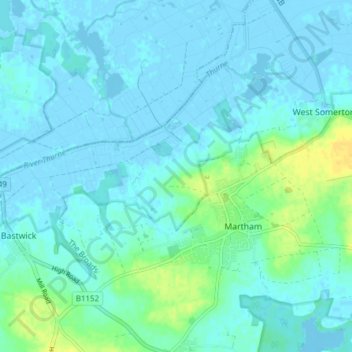
Name: Martham topographic map, elevation, terrain.
Average elevation: 4 m
Minimum elevation: -5 m
Maximum elevation: 22 m
Other topographic maps
Click on a map to view its topography, its elevation and its terrain.
Cess
United Kingdom > England > Norfolk > Great Yarmouth > Martham
Cess, Martham, Great Yarmouth, Norfolk, England, NR29 4TZ, United Kingdom
Average elevation: 6 m