
Kemajuan Tanah (FELDA) Lubok Merbau topographic map
Interactive map
Click on the map to display elevation.
About this map
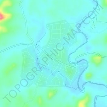
Name: Kemajuan Tanah (FELDA) Lubok Merbau topographic map, elevation, terrain.
Average elevation: 60 m
Minimum elevation: 43 m
Maximum elevation: 132 m