
Stratton topographic map
Interactive map
Click on the map to display elevation.
About this map
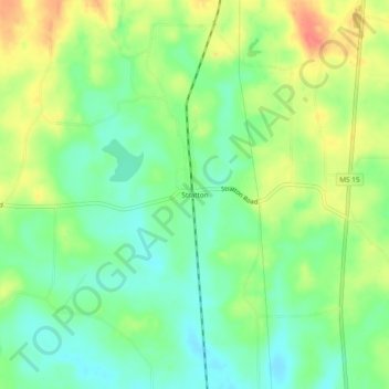
Name: Stratton topographic map, elevation, terrain.
Location: Stratton, Newton County, Mississippi, United States (32.47958 -89.15423 32.51958 -89.11423)
Average elevation: 142 m
Minimum elevation: 120 m
Maximum elevation: 172 m