
Bajhera topographic map
Interactive map
Click on the map to display elevation.
About this map
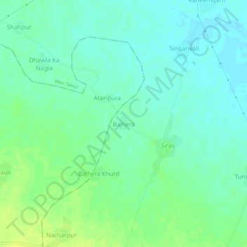
Name: Bajhera topographic map, elevation, terrain.
Location: Bajhera, Weir Tehsil, Bharatpur, Rajasthan, India (27.03653 77.09497 27.07653 77.13497)
Average elevation: 216 m
Minimum elevation: 209 m
Maximum elevation: 225 m