
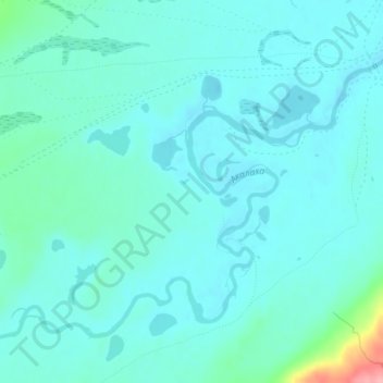
Ukuk Plateau topographic map
Interactive map
Click on the map to display elevation.
About this map
Name: Ukuk Plateau topographic map, elevation, terrain.
Average elevation: 2,179 m
Minimum elevation: 2,162 m
Maximum elevation: 2,277 m
Other topographic maps
Click on a map to view its topography, its elevation and its terrain.
Чаган-Узунское сельское поселение
Russia > Altai Republic > Kosh-Agachsky Rayon
Average elevation: 2,209 m