
Brush Creek topographic map
Interactive map
Click on the map to display elevation.
About this map
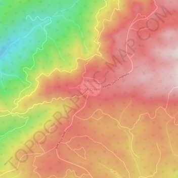
Name: Brush Creek topographic map, elevation, terrain.
Location: Brush Creek, Butte County, California, United States (39.67044 -121.35913 39.71044 -121.31913)
Average elevation: 957 m
Minimum elevation: 558 m
Maximum elevation: 1,209 m