
Thank you for supporting this site ❤️
Make a donation
Make a donation
Gear up for your next adventure:
As an Amazon Associate, this site earns from qualifying purchases at no extra cost to you.
Mauganj topographic map
Click on the map to display elevation.
Thank you for supporting this site ❤️
Make a donation
Make a donation
Gear up for your next adventure:
As an Amazon Associate, this site earns from qualifying purchases at no extra cost to you.
About this map
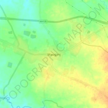
Name: Mauganj topographic map, elevation, terrain.
Location: Mauganj, Mauganj Tahsil, Rewa, Madhya Pradesh, 486331, India (24.64793 81.86115 24.68793 81.90115)
Average elevation: 347 m
Minimum elevation: 330 m
Maximum elevation: 363 m
Thank you for supporting this site ❤️
Make a donation
Make a donation
Gear up for your next adventure:
As an Amazon Associate, this site earns from qualifying purchases at no extra cost to you.