
Kambare Budruk topographic map
Interactive map
Click on the map to display elevation.
About this map
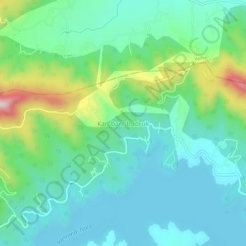
Name: Kambare Budruk topographic map, elevation, terrain.
Location: Kambare Budruk, Bhor, Pune District, Maharashtra, India (18.21968 73.73109 18.25968 73.77109)
Average elevation: 696 m
Minimum elevation: 606 m
Maximum elevation: 976 m