
Pieniny topographic map
Interactive map
Click on the map to display elevation.
About this map
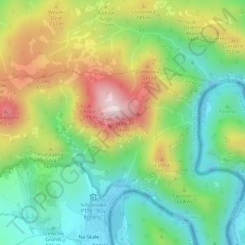
Name: Pieniny topographic map, elevation, terrain.
Average elevation: 632 m
Minimum elevation: 442 m
Maximum elevation: 936 m
Other topographic maps
Click on a map to view its topography, its elevation and its terrain.
Sromowce Niżne
Poland > Lesser Poland Voivodeship > Nowy Targ County > Sromowce Niżne
Sromowce Niżne, gmina Czorsztyn, Nowy Targ County, Lesser Poland Voivodeship, Poland
Average elevation: 587 m