
La Plama topographic map
Interactive map
Click on the map to display elevation.
About this map
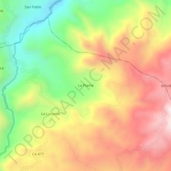
Name: La Plama topographic map, elevation, terrain.
Location: La Plama, Tongod, Province of San Miguel, Cajamarca, Peru (-6.72831 -78.82815 -6.68831 -78.78815)
Average elevation: 2,543 m
Minimum elevation: 2,097 m
Maximum elevation: 2,976 m