
Jennersdorf topographic map
Interactive map
Click on the map to display elevation.
About this map
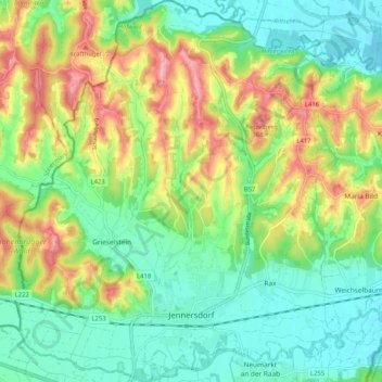
Name: Jennersdorf topographic map, elevation, terrain.
Location: Jennersdorf, Bezirk Jennersdorf, Burgenland, 8380, Austria (46.92477 16.09378 46.99485 16.18715)
Average elevation: 280 m
Minimum elevation: 225 m
Maximum elevation: 378 m