
Crozon-sur-Vauvre topographic map
Interactive map
Click on the map to display elevation.
About this map
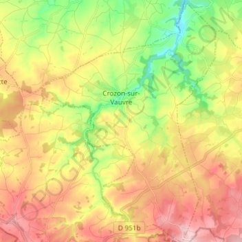
Name: Crozon-sur-Vauvre topographic map, elevation, terrain.
Average elevation: 348 m
Minimum elevation: 239 m
Maximum elevation: 459 m
Other topographic maps
Click on a map to view its topography, its elevation and its terrain.
²Le Grand Champ
France > Centre-Val de Loire > Indre > Lourouer-Saint-Laurent
Average elevation: 207 m