
Heath topographic map
Interactive map
Click on the map to display elevation.
About this map
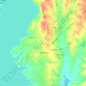
Name: Heath topographic map, elevation, terrain.
Location: Heath, Rockwall County, Texas, 75032, United States (32.81156 -96.50840 32.87738 -96.42421)
Average elevation: 146 m
Minimum elevation: 129 m
Maximum elevation: 177 m
Other topographic maps
Click on a map to view its topography, its elevation and its terrain.