
Wangi topographic map
Interactive map
Click on the map to display elevation.
About this map
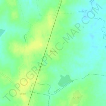
Name: Wangi topographic map, elevation, terrain.
Location: Wangi, Sakoli Taluka, Bhandara District, Maharashtra, India (20.98684 80.07422 21.00812 80.10224)
Average elevation: 262 m
Minimum elevation: 251 m
Maximum elevation: 273 m