
Tipton topographic map
Interactive map
Click on the map to display elevation.
About this map
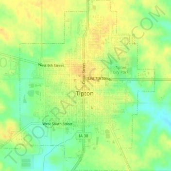
Name: Tipton topographic map, elevation, terrain.
Location: Tipton, Cedar County, Iowa, United States (41.75717 -91.14648 41.78467 -91.11304)
Average elevation: 247 m
Minimum elevation: 231 m
Maximum elevation: 258 m