
Kandanad topographic map
Interactive map
Click on the map to display elevation.
About this map
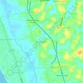
Name: Kandanad topographic map, elevation, terrain.
Location: Kandanad, Kanayannur, Ernakulam district, Kerala, 682312, India (9.89312 76.36045 9.93312 76.40045)
Average elevation: 12 m
Minimum elevation: -1 m
Maximum elevation: 37 m