
Vana-Roosa küla topographic map
Interactive map
Click on the map to display elevation.
About this map
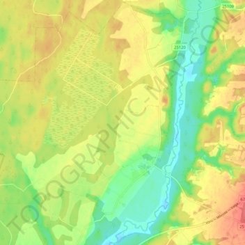
Name: Vana-Roosa küla topographic map, elevation, terrain.
Location: Vana-Roosa küla, Rõuge vald, Võru maakond, 66109, Estonia (57.65331 26.59022 57.70790 26.69367)
Average elevation: 84 m
Minimum elevation: 56 m
Maximum elevation: 110 m