
Belige topographic map
Interactive map
Click on the map to display elevation.
About this map
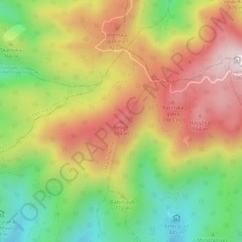
Name: Belige topographic map, elevation, terrain.
Location: Belige, Grad Zlatar, Krapina-Zagorje County, 49254, Croatia (46.17515 16.10773 46.17525 16.10783)
Average elevation: 748 m
Minimum elevation: 449 m
Maximum elevation: 1,049 m