
Battsengel topographic map
Interactive map
Click on the map to display elevation.
About this map
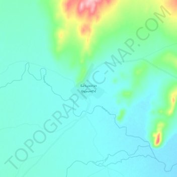
Name: Battsengel topographic map, elevation, terrain.
Location: Battsengel, Arkhangai, Mongolia (47.75469 101.93632 47.83469 102.01632)
Average elevation: 1,447 m
Minimum elevation: 1,416 m
Maximum elevation: 1,593 m