
Rjukan topographic map
Interactive map
Click on the map to display elevation.
About this map
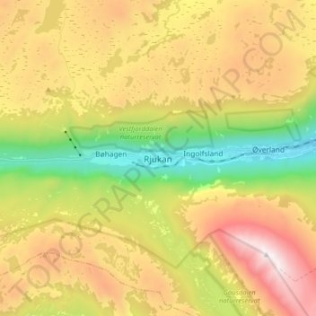
Name: Rjukan topographic map, elevation, terrain.
Location: Rjukan, Tinn, Telemark, 3660, Norway (59.83870 8.55416 59.91870 8.63416)
Average elevation: 998 m
Minimum elevation: 243 m
Maximum elevation: 1,865 m
Other topographic maps
Click on a map to view its topography, its elevation and its terrain.