
ad-Damer topographic map
Interactive map
Click on the map to display elevation.
About this map
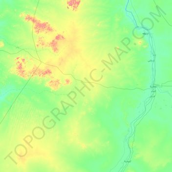
Name: ad-Damer topographic map, elevation, terrain.
Location: ad-Damer, River Nile, Sudan (17.22501 32.45451 18.15687 34.37354)
Average elevation: 427 m
Minimum elevation: 323 m
Maximum elevation: 899 m