
Isola topographic map
Interactive map
Click on the map to display elevation.
About this map
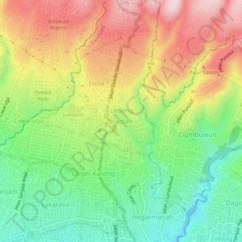
Name: Isola topographic map, elevation, terrain.
Location: Isola, West Java, 40143, Indonesia (-6.88153 107.57712 -6.84153 107.61712)
Average elevation: 907 m
Minimum elevation: 760 m
Maximum elevation: 1,083 m