
Cipayung Girang topographic map
Interactive map
Click on the map to display elevation.
About this map
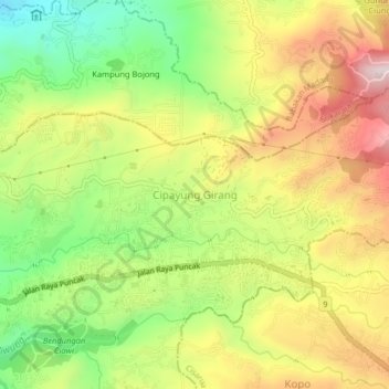
Name: Cipayung Girang topographic map, elevation, terrain.
Location: Cipayung Girang, West Java, 16720, Indonesia (-6.66296 106.87667 -6.62296 106.91667)
Average elevation: 613 m
Minimum elevation: 368 m
Maximum elevation: 876 m