
Manassas National Battlefield Park topographic map
Interactive map
Click on the map to display elevation.
About this map
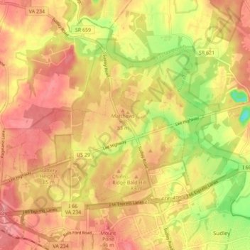
Name: Manassas National Battlefield Park topographic map, elevation, terrain.
Average elevation: 74 m
Minimum elevation: 16 m
Maximum elevation: 108 m
Other topographic maps
Click on a map to view its topography, its elevation and its terrain.
Prince William Forest Park
United States > Virginia > Prince William County > Triangle
Average elevation: 81 m