
Suro Khel topographic map
Interactive map
Click on the map to display elevation.
About this map
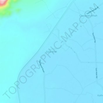
Name: Suro Khel topographic map, elevation, terrain.
Location: Suro Khel, Khyber Pakhtunkhwa, Pakistan (32.14814 70.98089 32.18814 71.02089)
Average elevation: 193 m
Minimum elevation: 179 m
Maximum elevation: 500 m