
Chousala topographic map
Interactive map
Click on the map to display elevation.
About this map
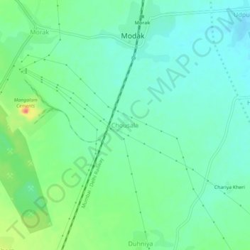
Name: Chousala topographic map, elevation, terrain.
Location: Chousala, Ramganj Mandi Tehsil, Kota, Rajasthan, 326517, India (24.69206 75.95060 24.73206 75.99060)
Average elevation: 339 m
Minimum elevation: 324 m
Maximum elevation: 375 m