
Sungai Raya topographic map
Interactive map
Click on the map to display elevation.
About this map
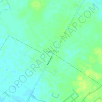
Name: Sungai Raya topographic map, elevation, terrain.
Location: Sungai Raya, Kubu Raya, West Kalimantan, Indonesia (-0.22254 109.37633 -0.18254 109.41633)
Average elevation: 7 m
Minimum elevation: 1 m
Maximum elevation: 14 m