
Pandan topographic map
Interactive map
Click on the map to display elevation.
About this map
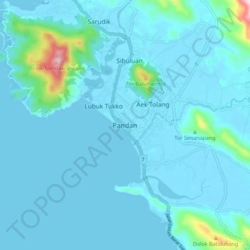
Name: Pandan topographic map, elevation, terrain.
Location: Pandan, Central Tapanuli, North Sumatra, Indonesia (1.64225 98.78343 1.72225 98.86343)
Average elevation: 34 m
Minimum elevation: -2 m
Maximum elevation: 414 m