
East Hope topographic map
Interactive map
Click on the map to display elevation.
About this map
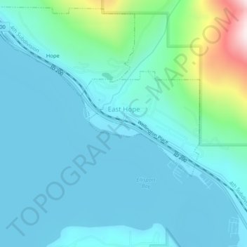
Name: East Hope topographic map, elevation, terrain.
Location: East Hope, Bonner County, Idaho, United States (48.23450 -116.30262 48.24597 -116.28302)
Average elevation: 710 m
Minimum elevation: 623 m
Maximum elevation: 1,192 m