
Medford topographic map
Interactive map
Click on the map to display elevation.
About this map
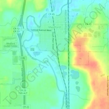
Name: Medford topographic map, elevation, terrain.
Location: Medford, Steele County, Minnesota, United States (44.15331 -93.26678 44.18040 -93.22672)
Average elevation: 344 m
Minimum elevation: 326 m
Maximum elevation: 376 m