
River Forest topographic map
Interactive map
Click on the map to display elevation.
About this map
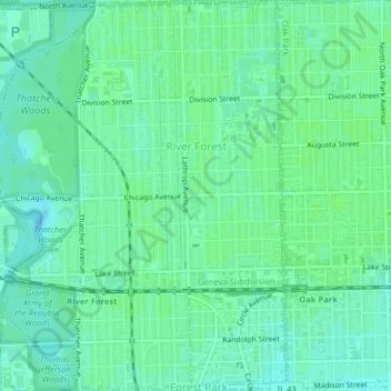
Name: River Forest topographic map, elevation, terrain.
Location: River Forest, Cook County, Illinois, 60305, United States (41.87918 -87.83475 41.90887 -87.80498)
Average elevation: 194 m
Minimum elevation: 189 m
Maximum elevation: 196 m