
Aïn Oulmane topographic map
Interactive map
Click on the map to display elevation.
About this map
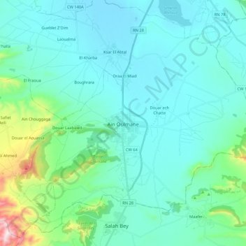
Name: Aïn Oulmane topographic map, elevation, terrain.
Location: Aïn Oulmane, Ain Oulmane District, Setif, Algeria (35.84744 5.20548 36.00025 5.41794)
Average elevation: 999 m
Minimum elevation: 889 m
Maximum elevation: 1,643 m