
Portage Park topographic map
Interactive map
Click on the map to display elevation.
About this map
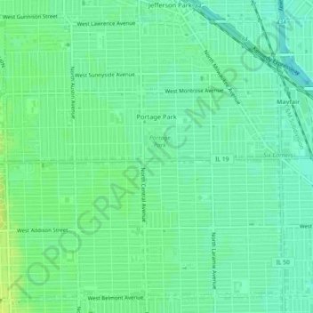
Name: Portage Park topographic map, elevation, terrain.
Average elevation: 189 m
Minimum elevation: 182 m
Maximum elevation: 197 m
Other topographic maps
Click on a map to view its topography, its elevation and its terrain.
Burnham Park
United States > Illinois > Chicago
Burnham Park, Oakland, Chicago, Hyde Park Township, Cook County, Illinois, 60615, United States
Average elevation: 179 m
Jackson Park
United States > Illinois > Chicago
Jackson Park, Hyde Park, Chicago, Hyde Park Township, Cook County, Illinois, 60637, United States
Average elevation: 180 m