
Kfar Mordechay topographic map
Interactive map
Click on the map to display elevation.
About this map
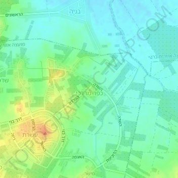
Name: Kfar Mordechay topographic map, elevation, terrain.
Average elevation: 41 m
Minimum elevation: 28 m
Maximum elevation: 68 m
Other topographic maps
Click on a map to view its topography, its elevation and its terrain.
Meishar
Israel > Center District > Gderot Regional Council
Meishar, Gderot Regional Council, Rehovot Subdistrict, Center District, Israel
Average elevation: 51 m