
Germantown topographic map
Interactive map
Click on the map to display elevation.
About this map
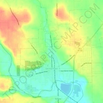
Name: Germantown topographic map, elevation, terrain.
Location: Germantown, Montgomery County, Ohio, 45327, United States (39.61531 -84.39413 39.65174 -84.33630)
Average elevation: 238 m
Minimum elevation: 208 m
Maximum elevation: 273 m