
Helvetia topographic map
Interactive map
Click on the map to display elevation.
About this map
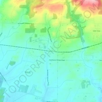
Name: Helvetia topographic map, elevation, terrain.
Location: Helvetia, Washington County, Oregon, United States (45.57567 -122.93733 45.61567 -122.89733)
Average elevation: 97 m
Minimum elevation: 52 m
Maximum elevation: 226 m